Hillsboro: Council Sets One $60,914.80-per-Acre LID Charge for Reed’s Crossing’s Last Phases

- The Hillsboro City Council voted 6-0 on Tuesday, Nov.
- The vote on Resolution 2940 comes at about 1:33:26 in the city's meeting video, after a six-member roll call.
- The total owed did not change.
The Hillsboro City Council voted 6-0 on Tuesday, Nov. 3, to charge the last two phases of Reed’s Crossing a flat $60,914.80 per net acre for the South Hillsboro Local Improvement District. By our calculation from consultant tables in the Nov. 3 council packet, that moves about $505,861 off land zoned for multifamily housing and onto single-family land.
The vote on Resolution 2940 comes at about 1:33:26 in the city’s meeting video, after a six-member roll call. Earlier, the council passed the first reading of Ordinance 6522, the Avenida Diez/10th Avenue plan, 6-0, with the second reading set for Nov. 17. As of the afternoon of Nov. 4, the city’s CivicWeb meeting page listed no minutes.
How a South Hillsboro LID charge works
The total owed did not change. Phases 4 and 5 carried $2,639,744.53 on 43.335 net acres, the staff memo says, and the vote changes only how that sum is split among lots.
Each lot’s share is a charge on that parcel. A local improvement district, or LID, makes the land that benefits from public works pay for them. The council created this one on Dec. 6, 2016, and levied final assessments in February 2023 after declaring the work substantially complete, the resolution says.
The memo says the district was formed “to construct the necessary infrastructure to further the development of South Hillsboro.” The resolution adds that the city wants new development to fully fund its services “without impacting current Hillsboro residents.” Each charge is recorded in the city’s lien docket, a list of debts tied to land.
A net acre is usable lot area. For unbuilt land, the consultant estimates it at 65% of gross developable acres. Dividing the $2,639,744.53 debt by the 43.335 net acres produces the new flat rate, the memo shows.
Who pays more now, and who pays less
The flat rate replaced per-acre charges that differed across five zones. The total stayed the same, but the split among zones changed, as the consultant’s exhibits show:
| Zone | Old rate per net acre | New rate | Est. net acres | Change in zone’s total | Per-acre change (our calculation) |
|---|---|---|---|---|---|
| MFR-1 | $78,338 | $60,915 | 3.72 | −$64,792.72 | −22.2% |
| MFR-2 | $116,769 | $60,915 | 7.90 | −$441,068.43 | −47.8% |
| SFR-4.5 | $45,818 | $60,915 | 11.47 | +$173,130.86 | +33.0% |
| SFR-6 | $44,496 | $60,915 | 19.46 | +$319,490.93 | +36.9% |
| SFR-7 | $44,223 | $60,915 | 0.79 | +$13,239.36 | +37.7% |
Rates are from ECOnorthwest Exhibit 4, dollar changes from Exhibit 3 and acres from Exhibit 2 of the Nov. 3 packet. The consultant notes that net acres will change as the phases develop.
Added together, the two MFR zones shed $505,861.15 and the three SFR zones pick up the same sum, our calculation from Exhibit 3 shows. The revised lien docket in Exhibit B shows the effect lot by lot. Lot 1785, in MFR-2, drops from $11,353.71 to $4,760.57, while lot 1827, in SFR-4.5, rises from $3,364.35 to $4,425.79.
Why the owner asked for one rate
Those shifts trace back to a housing plan that changed. Phases 4 and 5, south of SE Kinnaman Street and north of SE McInnis Lane on a packet map, were planned in 2016 with a mix of single-family and multifamily homes, the memo says.
The homes now planned are detached and attached single-family houses, “with many products being townhomes and triplexes,” and no multifamily buildings, according to the memo by Principal Financial Analyst John Campbell and Transportation Planning Supervisor Gregg Snyder. The owner of the affected tax lots asked for the change. The packet does not name the owner.
The consulting firm ECOnorthwest, in an Oct. 16 memo attached as Exhibit A, gives an example from the 2025 Phase 5A lots. There, a triplex unit in MFR-2 “is assessed $116,769 per net acre,” while a detached house in SFR-4.5 was assessed $45,818.
Two sets of ‘current’ rates in the packet
Those consultant figures differ from the staff memo’s own table, which labels its first column “Current Assessment per net acre.” The memo lists $72,552.67 for MFR-2 and $35,750.59 for SFR-6. Those match the consultant’s Exhibit 1, which shows the initial 2016 rates from the district’s project report.
The consultant writes that per-acre rates shift with each of the 28 updates since 2016 as land is subdivided. The memo does not explain why its column shows the 2016 figures, though its dollar totals match the exhibits.
Which table a reader uses changes the percentages. Using the memo’s table, MFR-2 land would see about a 16% cut and SFR-6 land a 70% rise; Exhibit 4 gives 47.8% and 36.9%, our calculation shows.
From the vote to the lien docket
Whichever table is used, Exhibit B’s dollar amounts are what the council adopted, and Section 4 made the resolution effective immediately. It directs the Finance Department to amend the city’s lien docket to match Exhibit B and record each new charge against its parcel. City records posted by Nov. 4 do not show whether that has been done.
The new rate also reaches beyond the lots in Exhibit B. Five more tax lots are expected to be divided as development requires, and their charges will be based on the $60,914.80 rate, the memo says.
The memo puts the cost at nothing but staff time. It says the city’s Equity Toolkit was not used and no community engagement was done, because the item is “an administrative update to the City’s lien docket.”
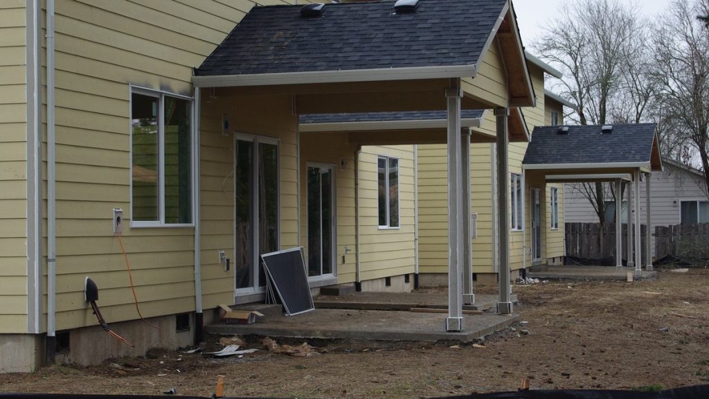
Top image: Illustrative image, 2017: new homes under construction in the Reedville area of Aloha, just east of Hillsboro. Photo: M.O. Stevens, CC BY-SA 4.0, via Wikimedia Commons (cropped).
