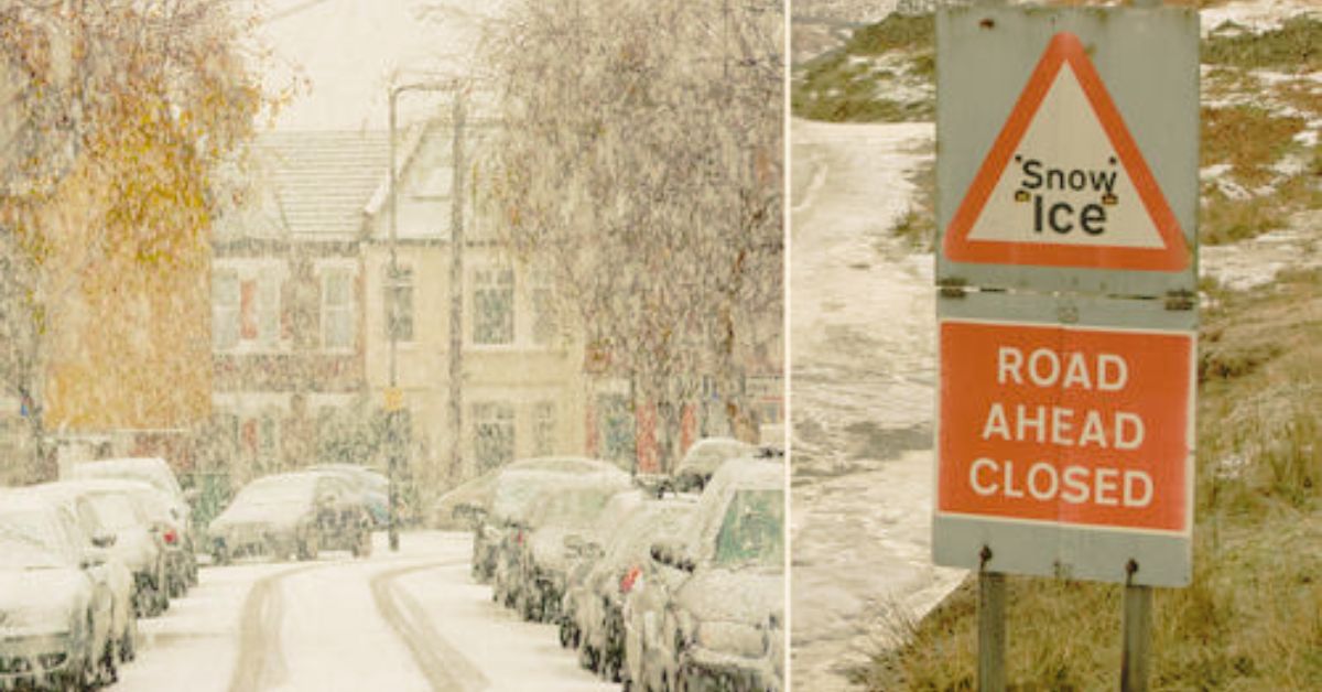
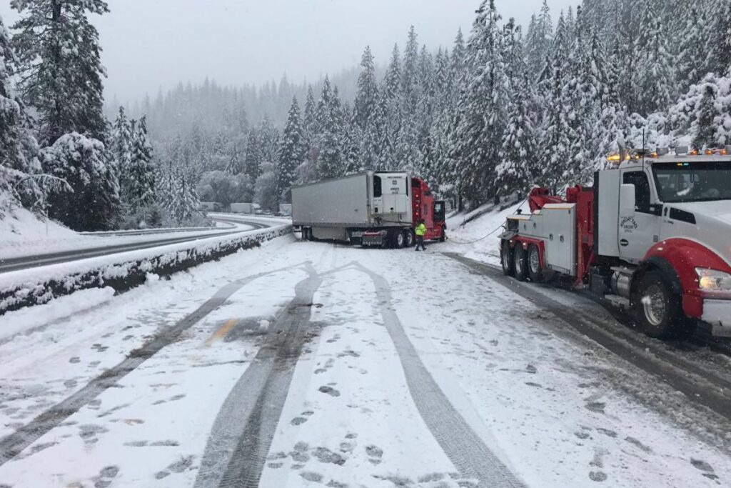
April 11 and 12 are expected to bring snow to the central Cascade passes, Coast Range, and foothills, adding to a record-breaking year for snowfall in Oregon.
At the present snow level of roughly 2,000 feet, residents and drivers should anticipate a light coating of 2 to 4 inches of snow on Tuesday and Wednesday. On Tuesday night, light snowfall is possible even in lower-lying areas.
According to Yahoo.com, Colby Newman of the National Weather Service in Portland, “Tonight the snow levels are going to lower closer to 1,000 feet, if not a little bit lower.”
“We’re going to see another round of showers move into the area overnight. There will be some light snow accumulation even down into the foothills, both in the Coast Range and the Cascades.”

Between Tuesday, April 11, and Wednesday, April 12, snowfall totals in the higher Cascades may reach 4-8 inches. The National Weather Service predicts this pattern will hold from Government Camp down the Santiam and McKenzie routes in the Cascades. Snow is on the way to the Cascades, Willamette Valley, and Coast Range due to a remote low-pressure system now off the coast of Vancouver Island.
Suppose you want to know about more related articles about weather predictions. Then, you can visit the link below:
- How Can Oregon’s Record Snowfall Effect the Fire Season?
- Is It Going To Snow In Hillsboro? 7 Days Weather Report!
“That’s what is going to bring a lot of these showers and this colder air,” Newman said. In addition, Newman said that while the low-pressure system’s precise path remains unclear, more persistent precipitation may emerge on the northern end of the system. Depending on the system’s way, it may or may not bring snow to the valley.
“Where that low tracks could certainly make a difference, and there might be a localized area that gets more snow, and or we see snow actually temporarily, briefly drop close to the valley floor, if it’s on the north side of that low,” Newman said.


