Hillsboro, a small city located in the Pacific Northwest region of the United States, has been buzzing with excitement over the possibility of snowfall in the coming days. While the city is no stranger to snow during the winter months, it has been a relatively mild winter so far, with only a few light snowfalls.
However, according to weather forecasts, residents of Hillsboro may be in for a treat as a winter storm system is expected to move into the region over the next few days.
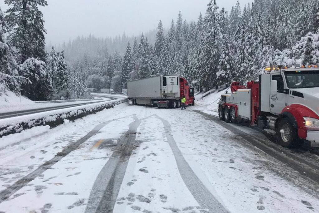
NWS Storm Prediction Center Share a Tweet, Which is given below-
Here is the 7 days forecast report for the weather of Hillsboro, which is given below:
- Overnight There is a 40% chance of rain, mostly after 3 am. The temperature stays around 46, and it’s mostly cloudy. Wind from the south, 6–9 mph.
- Monday Rain, mainly before 5 pm. The temperature is steady at around 46—wind from the south at 9 to 14 mph, with gusts up to 21 mph. There is an 80% chance of rain. There could be less than a tenth of an inch of new rain or snow.
Monday evening: There is a 40% chance of rain, mainly before 9 pm —fog in spots from 10 pm to 2 am. After midnight, the snow level will drop from 3000 feet to 2300 feet. - Otherwise, it will be mostly cloudy and around 37 degrees with about six mph of wind from the west-southwest, which dies down in the evening.
- Tuesday will be mostly sunny, with a high of around 59. Wind from the north-northeast at 3–6 mph.
- Tuesday Evening: Partly cloudy, and the low will be around 37. Wind from the north, 6–9 mph.
- Wednesday: There’s a 30% chance of rain after 11 am. High of around 59, with some sun.
There’s a chance of rain on Wednesday night before 11 pm, and then there’s a chance after 11 pm. After midnight, the snow level will drop from 3900 feet to 2500 feet. Low of about 41 degrees and mostly cloudy. There is a 40% chance of rain. - Thursday Rain: 2400 feet is the snow level. Cloudy, and the high will be near 48. Breezy.
- Thursday night: After midnight, the snow level will drop from 2200 feet to 900 feet. The low will be around 36 with clouds.
- Friday: Showers. The snow level will rise in the afternoon from 900 to 1400 feet. Cloudy, and the high will be near 48. Breezy.
Friday Evening: It’s likely to rain and snow. After midnight, the snow level will drop from 1500 feet to 500 feet—a low of around 33 degrees and mostly cloudy.
Saturday: It’s likely to rain and snow. In the afternoon, the snow level will rise from 400 to 1600 feet—cloudy most of the time, with a high near 48.
Saturday Night: It might rain. After midnight, the snow level will drop from 1900 feet to 1200 feet—low of around 33 degrees and mostly cloudy.
Sunday: There’s a chance of rain. In the afternoon, snow will rise from 1000 feet to 2000 feet. High of around 49 with some sun.
Source- forecast.weather.gov